


By Royal Order of His Majesty King Giulio III of Puttania
The Cartographical Society of Puttania is hereby founded with the aim of charting the lay of the land of Fruria and all the realms therein. For too long has our great country lived in the darkness of ignorance, even of its own neighbours. We do decree that it is in the national interest to gather all available information on the nature of this continent we inhabit.
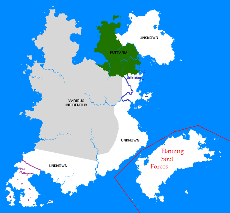
The Society's map of Fruria is currently hopeless out of date, but we are assured they are working on a new one:

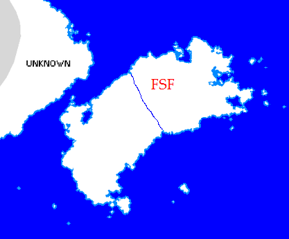
The Department of Industrial & Military Mapping, meanwhile, has produced this rather more complete but far less splendid map:

(Larger versions of these maps here and here)
Both organisations are now requesting information to help complete their maps from those nations which claim territory in Fruria.
Furthermore, all nations with territory in Fruria are invited to join the Frurian Union.
(OOC: Maps made by me are the ultimate authority. Please limit claims to roughly the same size as mine, or half to two-thirds the size for colonies. Should two nations claim the same area, priority is given to the nation which wants to be indigenous to Fruria, or the nation which claimed it first if both or neither do. If I say your claim is too big, it's too big, and the excess will be left to be conquered by another nation/ransacked by marauding savages/occupied by dragons)
(Also, pretty please give your colony a name. No-one wants to live in a nameless identikit nowhere.)


