
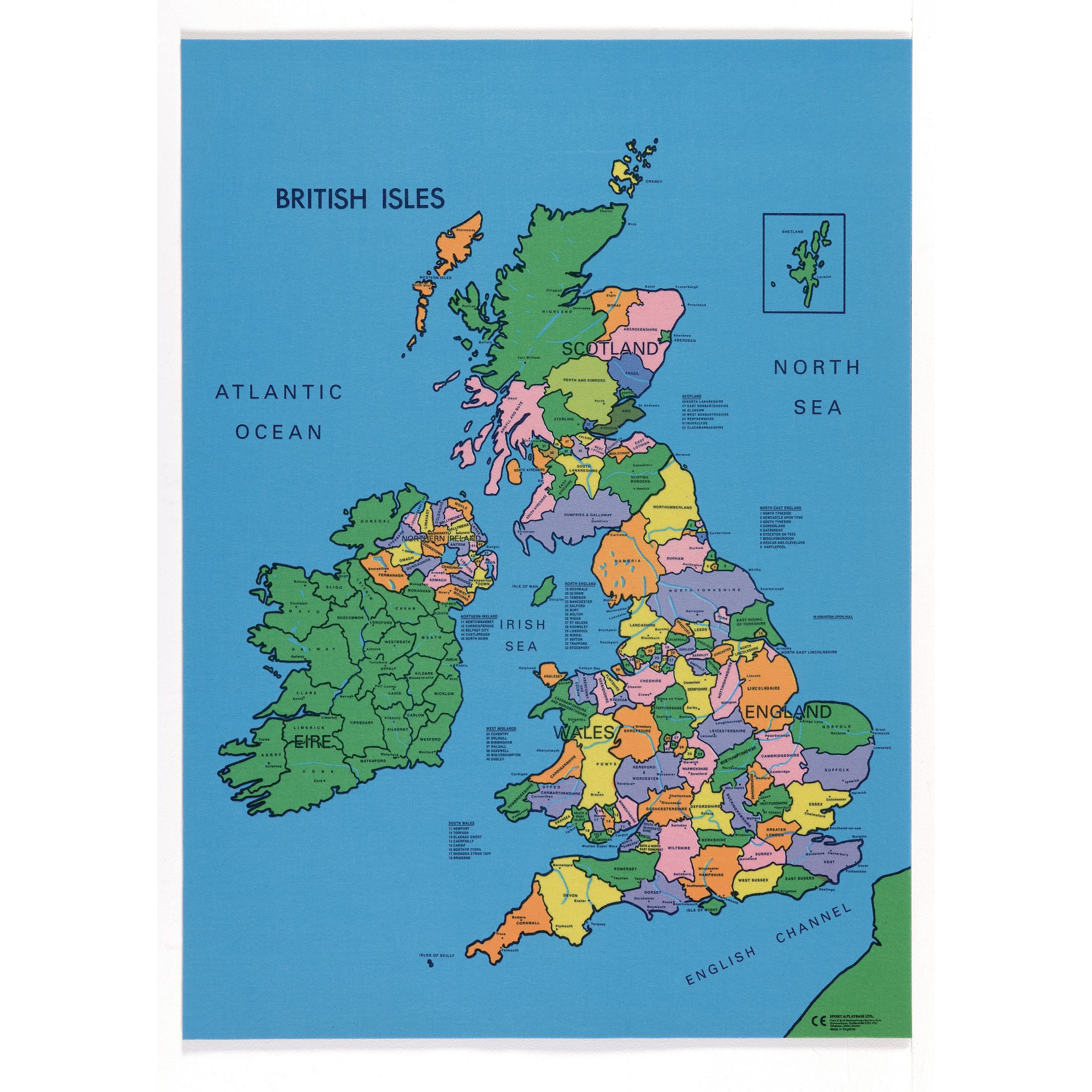
Saint Arilda wrote:Hey, I was wondering if someone could make me an outline of an island. I can’t really make one that I’m happy with.
The island would be quite long like Britain but not too thin, it would have a rough coastline on the west and a smoother one on the east.
That Is all I can really specify. I hope that you can help me out.


