THE REPUBLIC OF BETUTU
INTRODUCTION : BETUTU
Background:
Although known to Chinese and Arab sailors as early as the 10th century, Betutu was first explored by the Dutch in the 18th century and whom subsequently settled there.
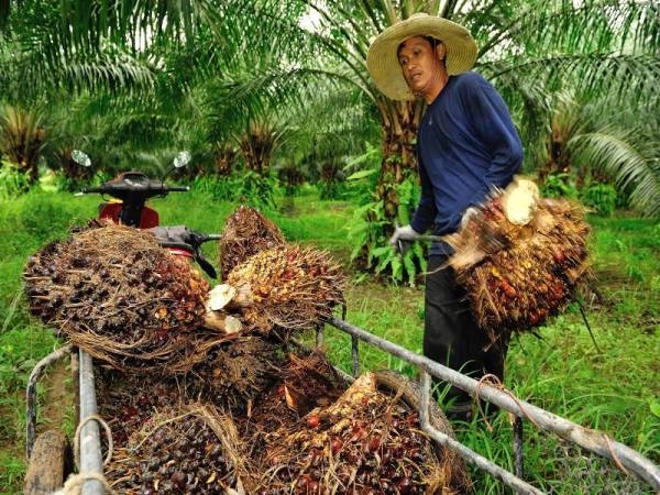
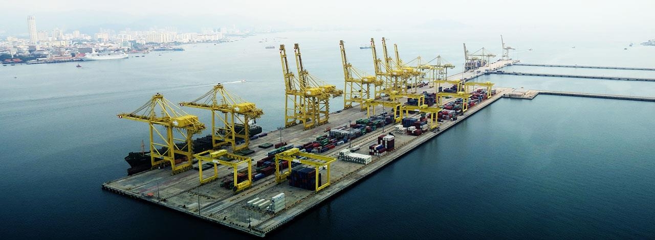
The British assumed control in 1881, developing the island into a naval base overseeing Pacific Ocean trade, and establishing a plantation economy of sugar cane.
Betutu remained a strategically important British naval base, and later an air station, playing an important role during World War II for anti-submarine and convoy operations, as well as the collection of signals intelligence.
Independence from the UK was attained in 1959. A stable democracy with regular free elections and a positive human rights record, the country has attracted considerable foreign investment and becoming one of Southeast Asia's rising economies.
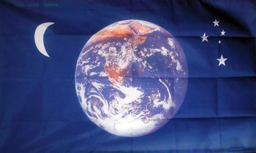
"راية الشهداء"
(The Glorious Martyr's Flag)
Motto:
Bersatu Kita Teguh
(United We Stand)
GEOGRAPHY : BETUTU
Location:
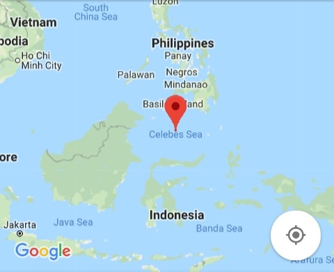
Southeast Asia, an island in the Celebes Sea (a.k.a Sulawesi Sea).
Map references:
Southeast Asia
Area:
land:
3,532 sq km (1,364 sq.miles)
water:
n.a
Area - comparative:
about the size of Rhode Island
Land boundaries:
0 km
Coastline:
negligible
Maritime claims:
measured from claimed archipelagic straight baselines
territorial sea: 12 nm
exclusive economic zone:
200 nm
continental shelf:
200 nm or to the edge of the continental margin
Climate:
tropical, modified by southeast trade winds; warm, dry winter (May to November); hot, wet, humid summer (November to May)
Terrain:
small coastal plain rising to discontinuous mountains encircling central plateau
Elevation:
elevation extremes:
lowest point:
Celebes Sea 0 m
highest point:
Gunung Saging 1305 m
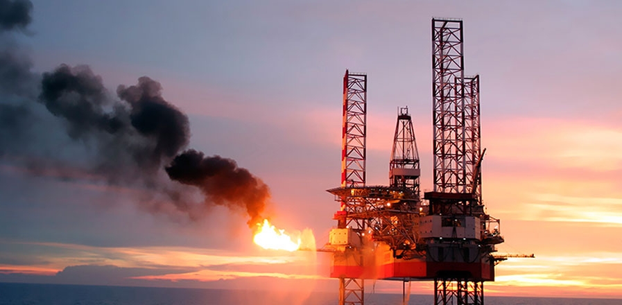
Natural resources:
arable land,oil and gas, fish
Land use:
agricultural land: 43.8%
arable land 38.4%; permanent crops 2%; permanent pasture 3.4%
forest: 17.3%
other:
38.9% (2015 est.)
Irrigated land:
190 sq km (2015)
Natural hazards:
cyclones (November to April); surrounded by reefs that may pose maritime hazards
Environment - current issues:
water pollution, degradation of coral reefs
Environment - international agreements:
party to: Antarctic-Marine Living Resources, Biodiversity, Climate Change, Climate Change-Kyoto Protocol, Desertification, Endangered Species, Environmental Modification, Hazardous Wastes, Law of the Sea, Marine Life Conservation, Ozone Layer Protection, Ship Pollution, Wetlands
signed, but not ratified: none of the selected agreements
Geography -note:
the island, is of volcanic origin and is almost entirely surrounded by coral reefs
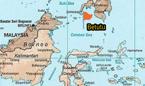
Location:
Small island nation in the the Celebes/Sulawesi Sea
Population:
2,892,800 (2019 est.)
Density:
819 people per sq.km
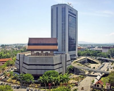
Capital:
Gaguk
Largest City:
Gaguk (pop.708,127 est.)
Kolopia (pop.484,885 est.)
Lindung (pop.48,898 est.)
Official Language:
Betutu Malayic (Official)
English (Official]
National Language:
Betutu Malayic
Demonym:
Betutuan(s)
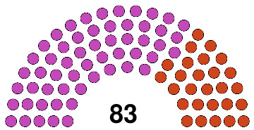
Government:
Parliamentary republic
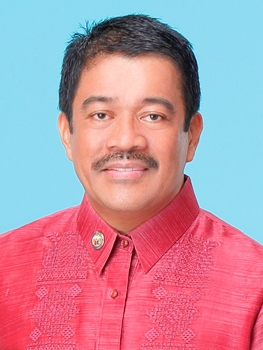
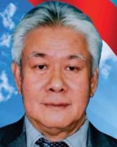
-President:Mr. Duim Kimpos
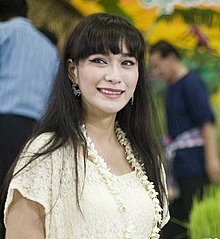
-Deputy President:Ms. Quennie Ya
-Speaker of the Parliament:
Mr. Jumat Ali
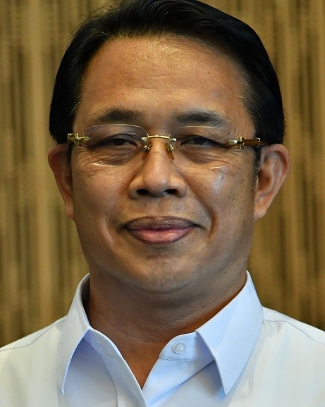
-Chief Justice:
Mr Harry Rajsmith
Legislature: Unicameral
Parliament of the Republic of Betutu
Establishment: from United Kingdom
Independence: 11 April 1959
Land Area: 3,532 km² (1,364 mile²)
Coastline: negligible
Elevation
Highest Point: Gunung Saging (1,305 m)
Lowest Point: Celebes/Sulu Sea (0 m)
GDP (nominal):
$29.6 billion (2018 est.)
GDP (nominal) per capita:
$26,014 (2018 est.)
Human Development Index (NS Version):
--n.a.--
Currency:
Betutu Taler (BT)
Current exchange rate:
BT 1.00 = US$ 0.1999
Time Zone:
UTC+9
Drives on the:
Left
Calling code:
+099
Internet TLD:
.btt