

This makes me think..
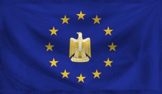
OP, I'm guessing the world map we're using is one consisting of provincial/state/sub-national boundaries? Well, that creates this really strange problem wherein boxy borders from the Scramble in Africa and other line-marking escapades show up in our map. This makes sense in places like the New World, but a straight line between Egypt and Libya just doesn't make sense in 1756 CE IMO. I'm assuming we just use the map as a rough guideline in these cases, and besides borders were a lot softer in times of old.


 are interesting, and are Prussia-esque.