
Advertisement

![]() by Airceltria » Sat Mar 27, 2021 4:59 am
by Airceltria » Sat Mar 27, 2021 4:59 am

![]() by Almonaster Nuevo » Sat Mar 27, 2021 9:39 am
by Almonaster Nuevo » Sat Mar 27, 2021 9:39 am

![]() by Islamic Holy Sites » Sat Mar 27, 2021 9:41 am
by Islamic Holy Sites » Sat Mar 27, 2021 9:41 am
BREAKING NEWS: Galapagos war 4 might be coming | “Aursi among best Muqaddasi allies,”, says government official | Muqaddasi weapon industry expanding WIP

![]() by Socialist States of Ludistan » Sat Mar 27, 2021 9:54 am
by Socialist States of Ludistan » Sat Mar 27, 2021 9:54 am
Islamic Holy Sites wrote:Could I request a map? Do it however you want, but Najaf has to be part of the IHS.
![]() by Free Ravensburg » Sat Mar 27, 2021 9:54 am
by Free Ravensburg » Sat Mar 27, 2021 9:54 am
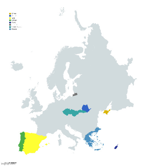
Free Ravensburg wrote:I require a new world map, but I want it in a wiki style. They were mostly made in Mapchart, and it was the first time that I used it to make political maps for NationStates. The ones that I left alone are meant to be unchanged. Sorry if the resolution is crap, but that is the only way it will go.
![]() by Islamic Holy Sites » Sat Mar 27, 2021 9:54 am
by Islamic Holy Sites » Sat Mar 27, 2021 9:54 am
BREAKING NEWS: Galapagos war 4 might be coming | “Aursi among best Muqaddasi allies,”, says government official | Muqaddasi weapon industry expanding WIP
![]() by Islamic Holy Sites » Sat Mar 27, 2021 9:56 am
by Islamic Holy Sites » Sat Mar 27, 2021 9:56 am
Socialist States of Ludistan wrote:Islamic Holy Sites wrote:Could I request a map? Do it however you want, but Najaf has to be part of the IHS.
Can you be a little more specific? I know you don’t really care, but can you tell me what year it circa is, and stuff like that? So I can make a more informed decision.
BREAKING NEWS: Galapagos war 4 might be coming | “Aursi among best Muqaddasi allies,”, says government official | Muqaddasi weapon industry expanding WIP
![]() by Enth Arth » Sat Mar 27, 2021 10:40 am
by Enth Arth » Sat Mar 27, 2021 10:40 am
Regional Happenings: Proletariat Order Form'd in Responseth of Fowlfolk Genocideth | Interdomainall Committeeth Passed Bill Condemning Inthellia’s and Carthal’s Actions 'gainst Fowlfolk | Hethian Confed’ration Premiers to Discuss Economick Collapseth of Ygras Province
![]() by Harzaa » Sat Mar 27, 2021 10:53 am
by Harzaa » Sat Mar 27, 2021 10:53 am

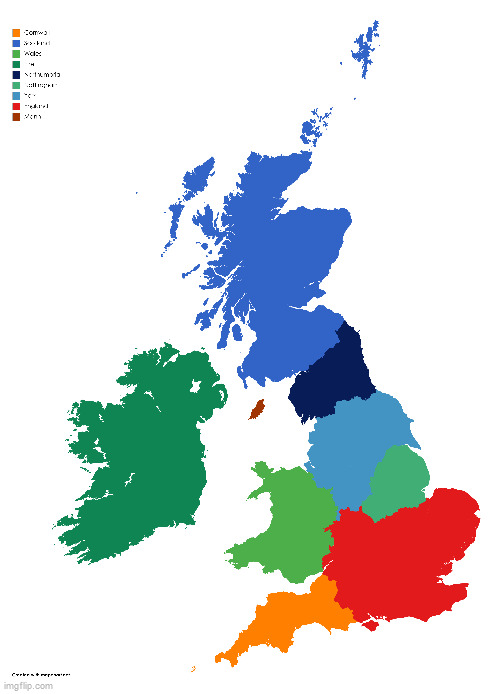
![]() by Islands Of Ventro » Sat Mar 27, 2021 2:52 pm
by Islands Of Ventro » Sat Mar 27, 2021 2:52 pm
Islands Of Ventro wrote:Is it possible for you to make a geographical map of this,
Can you put mountains in sensible spots like in the middle or at the edge? I tried using Wegener's theory of continental drift to make this map and so try and imagine it all like a puzzle with different geological features popping up at different points. Everything else I don't really care about. Actually, I would like a small outline of the states underneath the geographical features.
If someone were to do this it would be GREAT.
![]() by Socialist States of Ludistan » Sat Mar 27, 2021 10:37 pm
by Socialist States of Ludistan » Sat Mar 27, 2021 10:37 pm
![]() by Islamic Holy Sites » Sun Mar 28, 2021 2:58 am
by Islamic Holy Sites » Sun Mar 28, 2021 2:58 am
BREAKING NEWS: Galapagos war 4 might be coming | “Aursi among best Muqaddasi allies,”, says government official | Muqaddasi weapon industry expanding WIP
![]() by Islamic Holy Sites » Sun Mar 28, 2021 9:20 am
by Islamic Holy Sites » Sun Mar 28, 2021 9:20 am
BREAKING NEWS: Galapagos war 4 might be coming | “Aursi among best Muqaddasi allies,”, says government official | Muqaddasi weapon industry expanding WIP
![]() by Free Ravensburg » Sun Mar 28, 2021 9:26 am
by Free Ravensburg » Sun Mar 28, 2021 9:26 am
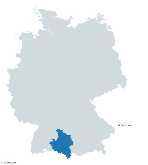
![]() by -Greater Libertalia » Tue Mar 30, 2021 11:44 am
by -Greater Libertalia » Tue Mar 30, 2021 11:44 am
-Greater Libertalia wrote:Hello. I would like to request an 18th century style map for my country.
for reference
![]() by Samano2wa » Sat Apr 03, 2021 7:32 am
by Samano2wa » Sat Apr 03, 2021 7:32 am
Samano2wa wrote:Requesting an uhhhhhhhhhhhhhhhhhhhhhhhhhhhhhhhhhhhhhhhhhhhhhhhhhhhh Topographical map of this? North on top.
For it, I'm looking for:
- Hard zone edges - no anti-aliasing, humanity has advanced beyond the need for anti-aliasing.
- Color scheme I want the typical green-to-orange-to-brown scale used in more vibrant topographical maps, kinda like the "like an encyclopedia" example in the OP.
- Key division as you like, but measured in meters first and feet second.
In terms of the elevation details, I'll leave it mostly to the artist's discretion, but:
- Pretty much all the little islands are completely or near-completely flat, none more than 1 to 200 meters tall.
- 1 is a zigzag (hence the shape) of volcanic peaks, with a few narrow ridges between them that range from kinda sheer to goats only.
- 2 and 3 are both centered around a single volcanic peak, but they're both easily more than 2 km, at least.
- 4 has a couple of volcanoes lined up in a C-shaped arc, with the open side facing east.
- 5 has fairly high mountains, many 2 to 3 km, but they're almost all on the west coast, except for one volcano on the middle peninsula on the east. It's not high, but it's big.
- 6 is mostly highlands except for the western peninsula which is mostly flat and low. Nothing over 2 km, though.
- 7 has few volcanoes, but it does have a very long, very rough, very high mountain range running in an S starting from the northernmost peninsula and ending near the D-shaped bay, where it splits in two to flank either side of the bay. The highest point on the map is in this mountain range, it's a little under 5 km. 7 has two smaller mountain ranges, one running east-west on the other northern peninsula, the other on the other side of the large lake, with a maximum height of 3 km. The island in the middle of the lake is also volcanic, with a height of 500 m or so.
![]() by Bunkaiia » Sat Apr 03, 2021 11:17 am
by Bunkaiia » Sat Apr 03, 2021 11:17 am
Bunkaiia wrote:Could someone please add my Puerto Rico-sized nation to an orthographic (Wikipedia-style map). The island/archipelago lies in the Indian Ocean between two continental plates.
Thank you so much!!!!!
![]() by Swedish-Norwegian Kingdoms » Mon Apr 05, 2021 12:27 am
by Swedish-Norwegian Kingdoms » Mon Apr 05, 2021 12:27 am
Swedish-Norwegian Kingdoms wrote:Can somebody make a a wiki like orthographic of the Nordic countries but Denmark is only highlited in the high regions, Greenland isn't highlighted
Also can someone post it on imgur and give me the link? I don't have the imgur app
huh
![]() by SkalVinos » Sat Apr 10, 2021 4:01 am
by SkalVinos » Sat Apr 10, 2021 4:01 am
![]() by Eiran » Tue Apr 13, 2021 7:26 am
by Eiran » Tue Apr 13, 2021 7:26 am
Swedish-Norwegian Kingdoms wrote:Swedish-Norwegian Kingdoms wrote:Can somebody make a a wiki like orthographic of the Nordic countries but Denmark is only highlited in the high regions, Greenland isn't highlighted
Also can someone post it on imgur and give me the link? I don't have the imgur app
/stillme
![]() by Saint Arilda » Sun Apr 25, 2021 12:10 pm
by Saint Arilda » Sun Apr 25, 2021 12:10 pm
Return to Factbooks and National Information
Users browsing this forum: Norskjavik, Rusrunia, Yinyangsanhe Hebenhehua


