

Alternative history (over a thousand small balkanized nation-states and city states on the planet) and alternative geography (Greater and Lesser Antilles form form an isthmus land mass linking Yucatan to Venezuela and much of what would be southern Mexico and Central America are the Mayan Islands. The borders for the Commonwealth were determined by quick war gaming using dice and a history book. Political events mirror our own and culture is based on Canadian and American Trapper,/Trader, Amerind and Pioneer tales of the 17th-19th centuries.Welskerland wrote:How did your nation get its current borders? Is it based on geography, historical borders, or agreements in a peace treaty, or something else? ... What about your nation?
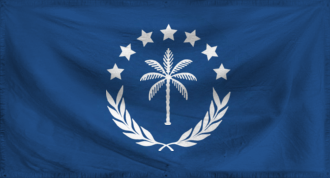
The Commonwealth of Narland comprises what would have been the Louisiana Purchase minus Louisiana, southern Arkansas, and including what is ID and OR & WA east of the Cascade Mountains making it one of the largest countries in the history of this world exceeded only by the current Tibetan Consortium and the Sub-Saharan Chaka Empire.


